6886 rezultatov
-
-
 Far and Away(2021) GILL, ADRIANA selection of the next best writing by A. A. Gill -- 'By miles the most brilliant journalist of our age' (Lynn Barber)Vezava: Mehka14,01 €
 -
 Cleveland Way(2020) HARVEY MAP SERVICES LTD.Cleveland Way National Trail was the second to be established in Britain and is now over 40 years old. Many walkers consider it to be a classic route because of the variety of landscapes through which it travels.28,43 €
 -
 Yorkshire Dales(2005)Walking map suitable for day visitors. Clear and easy to use. Extremely affordable price with useful information and contact details.12,39 €
 -
 Lake District North(2021)New Superwalker XT25 of the Lake District. Revised and re-designed It's got everything! Genuine original HARVEY mapping at 1:25,000. Clear, easy to read. Easy to re-fold.16,58 €
 -
 Cairngorms and Lochnagar(2019) HARVEY MAP SERVICES LTD.Heavy weight mountains on a lightweight map. 40 Munros & 13 Corbetts on one map. Printed on polyethylene - durable, tearproof & 100% waterproof.32,98 €
 -
 Cape Wrath Trail South(2019) HARVEY MAP SERVICES LTD.Cape Wrath Trail is a challenging route from Fort William to Cape Wrath. It is around 200 miles long and passes through some of Scotland's wildest and most spectacular scenery.31,19 €
 -
 Cape Wrath Trail North(2019) HARVEY MAP SERVICES LTD.Cape Wrath Trail is a challenging route from Fort William to Cape Wrath. It is around 200 miles long and passes through some of Scotland's wildest and most spectacular scenery.31,19 €
 -
 Arran(2020) HARVEY MAP SERVICES LTD.More than a map,an essential piece of equipment. This new generation HARVEY Superwalker is designed to be the most practical tool for navigation outdoors.27,63 €
 -
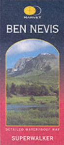 Ben Nevis(2017) HARVEY MAP SERVICES LTD.Ben Nevis with the Mamores and Grey Corries ranges at 1:25,000 on a double-sided, waterproof and tear-resistant map from Harvey Map Services in their Superwalker series, with the peak area also shown in greater detail at 1:12,500.27,63 €
 -
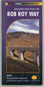 Rob Roy Way(2018) HARVEY MAP SERVICES LTD.Rob Roy Way is a walk across part of the Southern Highlands of Scotland taking in some of the most beautiful countryside in the UK. Starting from Drymen it goes north east to finish in Pitlochry.28,43 €
 -
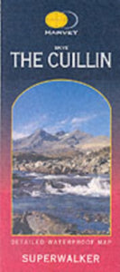 Skye the Cuillin(2019)New Revised Edition and Format. More than a map, an essential piece of equipment this new generation HARVEY Superwalker is designed to be the most practical tool for navigation outdoors. The format gives more mapping on the sheet without making the map he27,63 €
 -
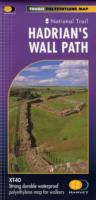 Hadrian's Wall(2019) HARVEY MAP SERVICES LTD.Tough & durable. XT40 - virtually indestructible. Light, compact. Entire route on one sheet. Clear easy to read. Sites of Roman remains. Accommodation and services. Great value for money.28,43 €
 -

-
 Great Glen Way(2019) HARVEY MAP SERVICES LTD.The HARVEY series of Long Distance Route maps have long been a success. Now we have applied the advanced technology used in the creation of last years best selling British Mountain Maps of Ben Nevis, Cairngorm, Lake District etc to provide the XT40 versio28,43 €