164 rezultatov
-
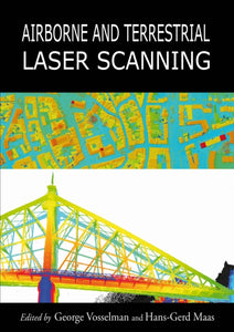 Airborne and Terrestrial Laser Scanning(2010) VOSSELMAN, GEORGE,MAAS, HANS-GERDA comprehensive overview of the major applications of airborne and terrestrial laser scanning.Vezava: Trda121,60 €
 -
 Protected Areas in Northern Tanzania(2020)Northern Tanzania is an important and diverse ecological and cultural region with many protected lands. This book, Protected Areas in Northern Tanzania, brings to the forefront research on significant issues and developments in conservation and managementVezava: Trda127,67 €
 -
 Making Maps, Third Edition(2016) KRYGIER, JOHN,WOOD, DENISLauded for its accessibility and beautiful design, this text has given thousands of students and professionals the tools to create effective, compelling maps.Vezava: Mehka87,49 €
 -
 Introduction to Spatial Data Analysis(2020) WEGMANN, MARTIN,SCHWALB-WILLMANN, JAKOB,DECH, STEFANReaders will learn the essentials of spatial data handling using the open source software QGIS and be guided through the first steps in using the R programming language. The book includes the fundamentals of spatial data handling and analysis, working witVezava: Mehka74,83 €
 -
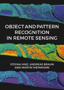 Object and Pattern Recognition in Remote Sensing(2020)This book highlights the different theoretical and application-oriented aspects and potential solutions to the topic of automated remote sensing data analysis.Vezava: Trda136,80 €
 -
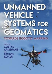 Unmanned Vehicle Systems in Geomatics(2019)This book contributes to the transformative and revolutionary use of small, unmanned vehicle systems for three-dimensional geospatial data acquisition and mapping, which is considered to be a paradigm shift in the science and technology of geomatics.Vezava: Trda129,20 €
 -
 Datums and Map Projections(2008) ILIFFE, J.C.A practical guide to coordinate reference and satellite navigation systems, as well as web mapping services such as Google Earth.Vezava: Mehka73,83 €
 -
 How to Make Maps(2020) ANTHAMATTEN, PETERThe goal of How to Make Maps is to equip readers with the foundational knowledge of concepts they need to conceive, design, and produce maps in a legible, clear, and coherent manner, drawing from both classical and modern theory in cartography.Vezava: Mehka72,22 €
 -
 Re-envisioning Remote Sensing Applications(2021)Re-envisioning Remote Sensing Applications: Perspectives from Developing Countries aims at discussing varied applications of remote sensing, with respect to upcoming technologies with varied themes like agricultural, soil and land degradation studies, hydVezava: Trda114,00 €


