1874 rezultatov
-
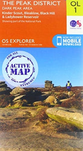 Peak District(2019)OS Explorer is the Ordnance Survey's most detailed map and is recommended for anyone enjoying outdoor activities such as walking, horse riding and off-road cycling. The series provides complete GB coverage and can now be used in all weathers thanks to OS23,82 €
 -
 Lonely Planet The Travel Atlas(2025) LONELY PLANETDiscover the ultimate world atlas of 205 detailed maps across 195 countries in a handy paperback format. Plan your next adventure with 2-day to 2-week travel itineraries, recommendations of sights, activities, places of interest and eateries, plus insightVezava: Mehka42,05 €
 -
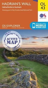 Hadrian's Wall(2019)OS Explorer is the Ordnance Survey's most detailed map and is recommended for anyone enjoying outdoor activities such as walking, horse riding and off-road cycling. The series provides complete GB coverage and can now be used in all weathers thanks to OS23,82 €
 -
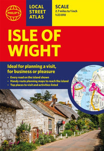 Philip's Isle of Wight Guide Book(2022) PHILIP'S MAPSThis pocket-sized street atlas of the Isle of Wight gives detailed coverage of the whole of the island and mainland towns nearby.Vezava: Mehka9,80 €
 -
 Ibiza Tour and Trail Map(2016) BRAWN, DAVIDFor better adventures, use the best map. Ibiza at 40k scale Super-Durable map including official cycling routes, and Walking World hiking routes. Digital editions are available from Discovery Walking Guides website.16,81 €
 -
 Formentera Tour and Trail Super Durable Map(2016) BRAWN, DAVIDFor better adventures, use the best map. Discover Formentera with the most detailed and toughest map that you can buy. Digital editions for phone apps and Garmin users are available on the Discovery Walking Guides website.16,81 €
 -
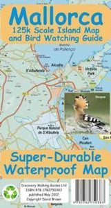 Mallorca Super Durable Map and Bird Watching Guide(2017)For better adventures, use the best map. Mallorca Super-Durable Map and Bird Watching Guide combines the latest island map with a full colour Bird Watching Guide. Navigate to your destination then turn over your map to identify the birds you see there.16,81 €
 -
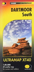 Dartmoor South(2020)The Ultramap covers a large area yet is small enough to slip in a pocket.It is a fully detailed genuine original HARVEY map. The Ultramap is tough, light and 100% waterproof.20,50 €
 -
 Pennine Way South(2019)Now printed on 100% waterproof and practically indestructable polyethelene paper. Weighing half the weight of a laminated map this updated map from Edale to Middleton-in-Teesdale is the Southern part of the popular Pennine Way.31,19 €
 -
 Pennine Way North(2019)The Pennine Way is a National Trail. It follows the backbone of England from the Peak District to the Scottish borders. It is one of the toughest UK long distance footpaths, and forms part of the European Footpath Network.31,19 €


