183 rezultatov
-
 Lanzarote Tour & Trail Map(2024) KOSTURA, JANWater-proof, split-proof, tear-proof, adventure-proof. Lanzarote Tour & Trail Super-Durable Map is simply the toughest, most accurate, easy to read, easy to use multipurpose map that you can get. A large 960mm by 694mm double sided map sheet covers LanzarVezava: Mehka16,81 €
 -
 Slovenia, Croatia, Bosnia - Michelin National Map 736(2023) MICHELINRenowned for over 100 years for their clear, accurate and easy-to-read mapping, Michelin country maps give travelers an overall picture of their route, with practical road and travel information; and city maps containing extensive street indexes orient th10,80 €
 -
AA Trucker's Atlas Britain(2023)Perfect for professional drivers to use whilst on the road and when planning routes, this large format A3 atlas has a clear 3 miles to 1 inch scale and included over 3,600 bridge height restrictions clearly located, 23 port plans and clear route planner m25,22 €
-
 Italy - Michelin National Map 735(2023) MICHELINRenowned for over 100 years for their clear, accurate and easy-to-read mapping, Michelin country maps give travelers an overall picture of their route, with practical road and travel information; and city maps containing extensive street indexes orient th10,80 €
 -
 Portugal & Madeira - Michelin National Map 733(2023) MICHELINRenowned for over 100 years for their clear, accurate and easy-to-read mapping, Michelin country maps give travelers an overall picture of their route, with practical road and travel information; and city maps containing extensive street indexes orient th10,80 €
 -
 Northern France - Michelin National Map 724(2023) MICHELINRenowned for over 100 years for their clear, accurate and easy-to-read mapping, Michelin country maps give travelers an overall picture of their route, with practical road and travel information; and city maps containing extensive street indexes orient th10,80 €
 -
 Vogesen, Motorcycle map 1:200.000(2022) FREYTAG-BERNDTThe Vosges are a wonderful motorcycling area in a unique landscape. Spiked with fantastic curves, the tours developed by motorcyclists meander through the eastern French low mountain range and combine driving pleasure with interesting sights, nature and c19,93 €
 -
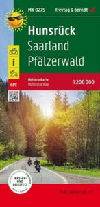 Hunsruck - Saarland - Pfalzerwald, MotorCycle map 1:200 000(2022) FREYTAG-BERNDTThe motorcycle map offers 7 tours (146 - 200 km) through the Palatinate Forest and the Hunsrück. Dense forest areas with castles and palaces lure with winding roads. Detours to the Moselle are recommended, as well as great vantage points along the Saar.13,80 €
 -
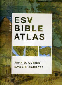 Crossway ESV Bible Atlas(2010) CURRID, JOHN D.,BARRETT, DAVID P.This groundbreaking, full-color companion to the ESV Bible combines visual appeal with state-of-the-art historical and geographical resources in one user-friendly volume.Vezava: Trda52,92 €
 -
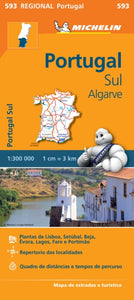 Portugal Sud - Algrave - Michelin Regional Map 593(2013) MICHELINWith MICHELIN Regional Maps, find more than just your way! In addition to Michelin's clear and accurate mapping, the regional map series includes all the practical information for a trouble free journey, including major town plans as well as tourism infor9,25 €
 -
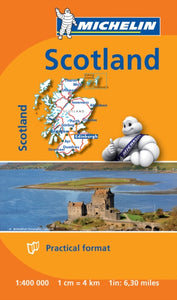 Scotland - Michelin Mini Map 8501(2014) MICHELINSmall and practical, these maps are easy to use thanks to double sided pocket format and includes multi-language key, relief shading, spot heights and other geographical features. Ferry connections are marked but railways are not included.4,62 €
 -
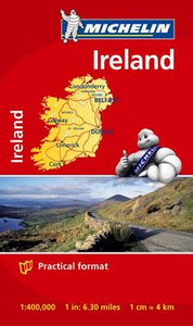 Ireland - Michelin Mini Map 8712(2014) MICHELINSmall and practical, these maps are easy to use thanks to double sided pocket format and includes multi-language key, relief shading, spot heights and other geographical features. Ferry connections are marked but railways are not included.4,62 €