198 rezultatov
-
 Imray Chart C66(2022) IMRAY C SERIESPlans included: Loch Gairloch (1:40 000) Kyleakin (1:40 000) Portree (1:25 000) Uig (1:35 000) Dunvegan (1:40 000) Loch Boisdale (South Uist) (1:25 000) Loch Carnan (1:20 000) Loch Maddy (1:40 000) East Loch Tarbert (1:60 000)44,71 €
 -
 Imray Chart C38(2024) IMRAY C SERIESPlans included: Port la Foret (1:15 000) Concarneau (1:15 000) Port Manec'h (1:35 000) Ports Brigneau & Merrien (1:20 000) Doelan (1:15 000) Iles de Glenan North (1:30 000) Lorient (1:35 000) Lorient Yacht Harbour (1:10 000) Port Tudy (Ile de Groix) (1:144,71 €
 -
 Imray Chart M45(2023) IMRAY M SERIESPlans: Approaches to Porto Capraia Approaches to Portoferraio Bastia Talamone Approaches to Porto S. Stefano36,99 €
 -
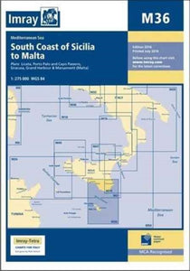 Imray Chart M36(2022) IMRAY M SERIESA brand new chart for 2016 covering the south coast of Sicily and Malta Passage Plans included: Licata (1:20 000) Porto Palo and Capo Passero (1:100 000) Siracusa (1:35 000) Grand Harbour & Marsamxett (Malta) (1:15 000)36,99 €
 -
 Imray Chart M31(2023) IMRAY M SERIESPlans include: Approaches to Marsala Approaches to Favignana Approaches to Trapani Approaches to Palermo36,99 €
 -
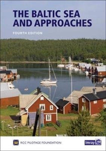 Baltic Sea and Approaches(2017) RCC PILOTAGE FOUNDATIONThis 4th edition has been produced by a team from the Royal Cruising Club and contains substantial changes. Apart from the routine updating of the text and plans - many newly drawn for this edition.Vezava: Trda67,54 €
 -
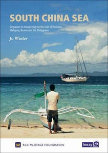 South China Sea(2019) ROYAL CRUISING CLUB PILOTAGE FOUNDATION,WINTER, JOThis first edition of South China Sea is the successor to Stephen Davies and Elaine Morgan’s Cruising Guide to Southeast Asia, Volume I (Imray). Building on the earlier work, this new edition has been updated and expanded to include coverage of Cambodia aVezava: Trda78,20 €
 -
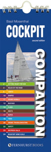 Cockpit Companion(2015) MOSENTHAL, BASILEssential information for the cruising yachtsman in an easy-to-understand format – ideal for those moments when you need an answer, and you need it fast!12,61 €
 -
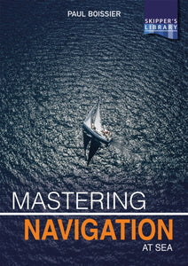 Mastering Navigation at Sea(2020) BOISSIER, PAULThis book is thoughtfully written to help yachtsmen enjoy the sea, and to do so safely. It’s not another navigation textbook – it’s well-informed, easy to read and honest. With a lifetime’s experience at sea, the author brings the subject to life to helpVezava: Mehka25,22 €
 -
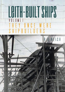 They Once Were Shipbuilders(2019) NEISH, R. O.This is a complete history of the ships built at Leith from c. 1850 until the end of World War I and features the shipyards that eventually became the Henry Robb Shipyard including S&H Morton, Ramage & Ferguson, Cran & Somerville and Hawthorns & CoVezava: Mehka26,24 €
 -
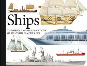 Ships(2020) BISHOP, CHRISFully illustrated in a pocket landscape format, Ships contains 300 vessels arranged in chronological order from ancient times to the present day. Each ship entry has a colourful artwork, concise service history and a specification box giving comprehensiveVezava: Mehka18,21 €
 -
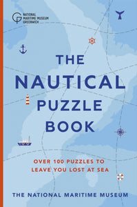 Nautical Puzzle Book(2020) MUSEUM, THE NATIONAL MARITIME,MOORE, DR. GARETHA brilliant gift for anyone who wants to test their shipping knowledge with questions that will leave you all at sea!Vezava: Trda26,62 €
 -
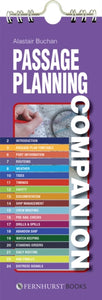 Passage Planning Companion(2019) BUCHAN, ALASTAIRA compact, handy summary of the key things you need to consider when planning a passage by sea and managing your ship on that passage. It includes checklists, tables, lists, suggestions and lots of advice. Its clear layout makes the information quick to i12,61 €
 -
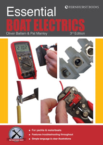 Essential Boat Electrics(2021) MANLEY, PAT,BALLAM, OLIVERLearn how to carry out electrical jobs onboard yourself, properly and safely. This book focusses on the practical, using simple language and clear illustrations. From using a multimeter and wiring a circuit, to troubleshooting electrical faults, easy-to-fVezava: Mehka23,82 €
 -
 Knox-Johnston on Seamanship & Seafaring(2018) KNOX-JOHNSTON, ROBINSir Robin Knox-Johnston shares the lessons he has learned on seamanship in the 50 years since he set off on the first non-stop solo circumnavigation. He also reminisces on memorable boats, races and places he has experienced in his last 50 years of seafarVezava: Trda21,02 €
 -
 Reeds Vol 3: Applied Thermodynamics for Marine Engineers(2022) RUSSELL, PAUL ANTHONY,EMBLETON, WILLIAM,JACKSON, LESLIEFully revised and updated 6th edition of this essential textbook for all marine engineers offering a comprehensive resource on thermodynamics within a marine setting.Vezava: Mehka90,23 €
 -
 Superyacht Captain(2022) O’SHANNASSY, BRENDANThe story of an ordinary boy whose career takes him on an extraordinary journey, ending as one of the most successful superyacht captains in the industry. Lessons in leadership and teamwork are illustrated with jaw-dropping insights into the unbelievableVezava: Mehka18,52 €
 -