


2118 rezultatov
-
 Pub Walks(2020) DUNFORD, DAVIDThese attractive and cleverly structured guides will give walkers ten of the best themed short circular walks to Cheshire's finest pubs.Vezava: Mehka10,55 €
 -
 Top 10 Yorkshire Dales Tea Shop Walks(2021) KEW, FRANKThe ten best walks based around the loveliest tea shops, cafes and delis of the Yorkshire Dales National Park in a popular pocketable format.Vezava: Mehka10,55 €
 -
 Two Saints Way(2019) POTT, DAVIDThe Two Saints Way has a symmetrical structure with the two cathedrals at either end, Stoke Minster in the middle and two churches dedicated to St Mary at the quarter points. This guide is packed with practical and historical information and contains OSVezava: Mehka25,64 €
 -
 Walks to Viewpoints (Top 10 Walks)(2018) DAKIN, CHIZThis attractive and cleverly structured guide gives walkers the ten best walks to the most stunning viewpoints in the Peak District National Park in a popular pocketable format.Vezava: Mehka10,55 €
 -
 Walks with History(2019) KEW, FRANKThis attractive and cleverly structured guide gives walkers the ten best walks through the fascinating historic landscapes of the Yorkshire Dales National Park in a popular pocketable format.Vezava: Mehka10,55 €
 -
 Carmarthen Bay & Gower(2013) GARROD ROBERTS, HARRIAn ntroduction for each walk, expertly written numbered directions, enhanced Ordnance Survey maps, superb, eye-grabbing panoramic photographs, and interpretation of points of interest along the way.Featured walks include: Pendine & Marros, Laugharne, LlanVezava: Mehka10,55 €
 -
 Tea Shop Walks(2018) CROW, VIVIENNEThese attractive and cleverly structured guidebooks give walkers the ten finest circular routes on a section of the Lake district National Park in a popular pocketable format.Vezava: Mehka10,55 €
 -
 Pitlochry XT25(2021)Covers Pitlochry, Loch Tummel & Blair Atholl. Includes Ben Vrackie, one of the best viewpoints in the southern Highlands; Pass of Killercranckie and Aberfeldy. Lightweight, detailed, clear and easy to read. Printed on 100% waterproof, tearproof paper. GPS28,43 €
 -
 Coast to Coast(2021)NEW for 2021 - the whole of the Coast to Coast long distance walking route ON ONE MAP. The Coast to Coast is a 307km (192 miles) walking route across northern England, passing through the Lake District, Yorkshire Dales and North York Moors National Parks.31,99 €
 -
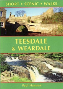 Teesdale & Weardale(2021) HANNON, PAULThis colourful pocket-sized guide is your passport to 30 great walks in the countryside of the North Pennines with all walks less than 5 miles in length.Vezava: Mehka8,90 €
 -
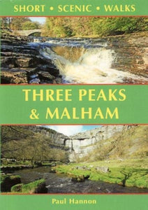 Three Peaks & Malham(2021) HANNON, PAULThis colourful pocket-sized guide is your passport to 30 great walks in the countryside of the Yorkshire Dales National Park near Settle.Vezava: Mehka8,90 €
 -
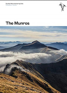 Munros(2021) ANDERSON, RAB,PRENTICE, TOMThis fully revised edition of the Scottish Mountaineering Club's original and best-selling guidebook The Munros describes the best walking routes on Scotland's 282 mountains above 3000ft.Vezava: Trda53,46 €
 -
 Shetland(2018) WEBSTER, PAUL,WEBSTER, HELENThe most northerly of Britain's island groups, Shetland is so far removed from the rest of the UK that it usually appears as an inset on maps. Although relatively little known to those from outside the islands, Shetland is a magnificent terrain for walkerVezava: Mehka10,80 €
 -
 Somerset(2018) FERGUSSON, JOHN,FERGUSSON, ANNIEThere's a lot more to Somerset than scrumpy cider, cheddar cheese and the Glastonbury Festival. It's a county of contrasts: moorlands and marshes, castle and caverns, cheese and strawberries, gorges and torsVezava: Mehka10,80 €
 -
 Cheshire(2021) FERGUSSON, JOHN,FERGUSSON, ANNIEThere is no better way to explore Cheshire than on foot - from the wild and open hills of the Peaks to the low-lying pastures of the Plain, Cheshire is covered in a spider's web of footpaths, bridleways, towpaths and trails.Vezava: Mehka10,80 €
 -
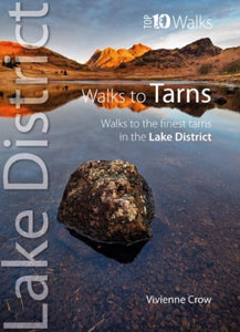 Top 10 Walks to the Tarns in the Lake District(2022) CROW, VIVIENNEOne of ten books in the popular Lake District: Top 10 Walks series. Handy, pocket-sized, full colour walking guides written by experts. The perfect impulse buy. The new revised edition of this popular guide gives walkers ten of the finest walks to small uVezava: Mehka10,55 €
 -
 Top 10 Mysterious Walks in the Peak District(2022) DUNFORD, DAVIDOne of nine books in the Peak District: Top 10 Walks series. Handy, pocket-sized, full colour walking guides written by experts.Vezava: Mehka10,55 €
 -
 Pathfinder The High Fells of Lakeland(2018)A new Pathfinder (R) walking guide to the Lake District, featuring 24 circular fell walks. Designed for adventurous walkers, the routes visit some of the highest mountain peaks in the area, from Scafell Pike to Skiddaw, with all walks accompanied by GPS wVezava: Mehka18,21 €


