


2168 rezultatov
-
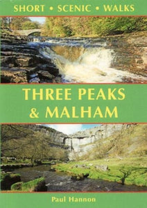 Three Peaks & Malham(2021) HANNON, PAULThis colourful pocket-sized guide is your passport to 30 great walks in the countryside of the Yorkshire Dales National Park near Settle.Vezava: Mehka8,90 €
 -
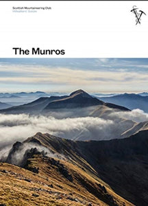 Munros(2021) ANDERSON, RAB,PRENTICE, TOMThis fully revised edition of the Scottish Mountaineering Club's original and best-selling guidebook The Munros describes the best walking routes on Scotland's 282 mountains above 3000ft.Vezava: Trda42,77 €
 -
 Shetland(2018) WEBSTER, PAUL,WEBSTER, HELENThe most northerly of Britain's island groups, Shetland is so far removed from the rest of the UK that it usually appears as an inset on maps. Although relatively little known to those from outside the islands, Shetland is a magnificent terrain for walkerVezava: Mehka10,80 €
 -
 Somerset(2018) FERGUSSON, JOHN,FERGUSSON, ANNIEThere's a lot more to Somerset than scrumpy cider, cheddar cheese and the Glastonbury Festival. It's a county of contrasts: moorlands and marshes, castle and caverns, cheese and strawberries, gorges and torsVezava: Mehka10,80 €
 -
 Cheshire(2021) FERGUSSON, JOHN,FERGUSSON, ANNIEThere is no better way to explore Cheshire than on foot - from the wild and open hills of the Peaks to the low-lying pastures of the Plain, Cheshire is covered in a spider's web of footpaths, bridleways, towpaths and trails.Vezava: Mehka10,80 €
 -
 Baffies' Easy Munro Guide(2018) STORER, RALPHThink the Munros are too difficult? Think again. Baffies' Easy Munro Guide is the first of a series of reliable rucksack guides to some of the more easily tackled Munros.Vezava: Mehka11,20 €
 -
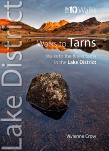 Top 10 Walks to the Tarns in the Lake District(2022) CROW, VIVIENNEOne of ten books in the popular Lake District: Top 10 Walks series. Handy, pocket-sized, full colour walking guides written by experts. The perfect impulse buy. The new revised edition of this popular guide gives walkers ten of the finest walks to small uVezava: Mehka10,55 €
 -
 Pathfinder The High Fells of Lakeland(2018)A new Pathfinder (R) walking guide to the Lake District, featuring 24 circular fell walks. Designed for adventurous walkers, the routes visit some of the highest mountain peaks in the area, from Scafell Pike to Skiddaw, with all walks accompanied by GPS wVezava: Mehka18,21 €
 -
 PERTHSHIRE, ANGUS & FIFE(2018)28 circular, graded walks all tried and tested by seasoned walkers. The routes range from extended strolls to exhilarating hikes, so there is something for everyone.Vezava: Mehka18,21 €
 -
 Pathfinder Lincolnshire & the Wolds(2018)28 circular, graded walks all tried and tested by seasoned walkers. The routes range from extended strolls to exhilarating hikes, so there is something for everyone.Vezava: Mehka18,21 €
 -
 Backpacker's Handbook(2011) TOWNSEND, CHRISEverything readers need to know about backpacking before they hit the trailsVezava: Mehka60,22 €
 -

-

-
 High Fells(2011) GOODIER, STEVEA guide that gives walkers the ten finest, classic routes on the Lake District's High Fells in a popular pocketable format. It features high fells such as: Skiddaw, Helvellyn, Coledale Horseshoe, Litte Dale Round, Scafell Pike, Great Gable, Bow Fell and EVezava: Mehka10,55 €


