
1719 rezultatov
-
 Ireland Holiday West(2019)This map covers the West of Ireland and contains detailed road information and tourist features, such as caravan parks, picnic areas and information offices.18,28 €
 -
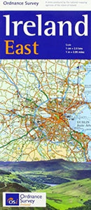 Ireland Holiday East(2019)This map covers the East of Ireland and contains detailed road information and tourist features, such as caravan parks, picnic areas and information offices.18,28 €
 -
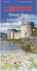 Limerick(2018)A detailed map of Limerick City and surrounding area complete with street index, places of interest and City Centre extract.18,28 €
 -
 Cork Street Map(2016) ORDNANCE SURVEY IRELANDA detailed map of Cork City and surrounding area complete with street index, places of interest and City Centre extract.18,28 €
 -
 Meath, Westmeath(2016) ORDNANCE SURVEY IRELANDThe Discovery Series are designed for tourist and leisure activities. Each one covers an area of 40km x 30km at the scale of 1:50,000. There are 93 sheets in the series. 75 are produced by Ordnance Survey Ireland and 18 by Ordnance Survey Northern Ireland18,28 €
 -
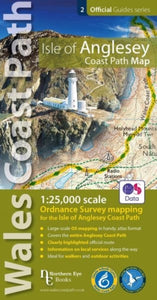 Isle of Anglesey Coast Path Map(2019)Enhanced, large scale (1: 25,000) Ordnance Survey mapping in a handy atlas format with all the mapping you need to walk a complete circuit of the Anglesey section of the Wales Coast Path. Continuous OS mapping covering the complete circuit from Menai BridVezava: Mehka15,08 €
 -
 North Wales Coast Path Map(2022)One of seven handy, lightweight, pocket sized map bookscovering the whole of the 870 mile/1400 kilometre Wales Coast Path. This volume covers North Wales from Chester to Bangor and includes enhanced large scale (1:25,000) Ordnance Survey mapping in a hanVezava: Mehka15,08 €
 -
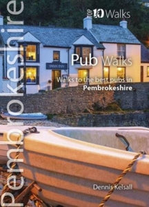 Pub Walks Pembrokeshire(2017) KELSALL, DENNISThis attractive and cleverly structured guide gives walkers ten of the finest walks to the best pubs in the Pembrokeshire National Park in a popular pocketable format.Vezava: Mehka9,04 €
 -
 Two Moors Way(2021)Two Moors Way Entire route on one mapThe Two Moors Way is a long-distance walking route between Ivybridge on the southern edge of Dartmoor and Lynmouth on the north coast of Exmoor.It has a total length of 163km (102 miles), making it an ideal week's walk29,41 €
 -
 Trossachs North XT25(2022)More than a map - an essential piece of equipment. This new generation HARVEY Superwalker is designed to be the most practical tool for navigation outdoors.28,43 €
 -
 Knoydart(2021)This remote and beautiful area is often known as 'Scotland's last wilderness'. Detailed map for hillwalkers of Knoydart and Glen Shiel at the popular scale of 1:25,000.28,43 €
 -
 Wicklow Mountains(2018)HARVEY Superwalker Wicklow Mountains map at 1:30,000 scale. Clear, easy to use, waterproof. GPS compatible.28,43 €


-

Lifestyle torbe in nahrbtniki
Izberite torbo ali nahrbtnik, ki odraža vaš slog. Naša zbirka lifestyle torb...
-

Zvonci za kolo
Kolesarjenje je varnejše in zabavnejše z dobrim zvoncem. V naši zbirki najdete...
-

Bralne lučke
Poskrbite za pravo svetlobo pri branju z našo zbirko bralnih lučk. Kompaktne,...


