

1860 rezultatov
-
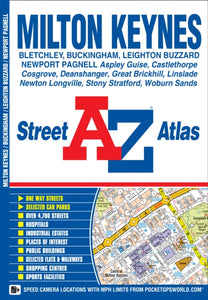 Milton Keynes A-Z Street Atlas(2013) A-Z MAPSThis A-Z map of Milton Keynes, Buckingham and Leighton Buzzard is a full colour street atlas featuring 25 pages of street mapping. •Milton Keynes coverage extends to Bletchley, Castlethorpe, Deanshanger, Kingston, Newport Pagnell, Newton Longville, StonVezava: Mehka7,96 €
 -

-
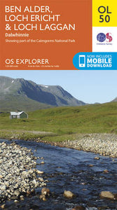 Ben Alder, Loch Ericht & Loch Laggan, Dalwhinnie(2015) ORDNANCE SURVEYOS Explorer is the Ordnance Survey's most detailed map and is recommended for anyone enjoying outdoor activities like walking, horse riding and off-road cycling. Providing complete GB coverage the series details essential information such as youth hostels18,21 €
 -
 North Harris and Loch Seaforth/Ceann a Tuath Na Hearadh Agus Loch Shiphoirt(2015) ORDNANCE SURVEY18,21 €