

1860 rezultatov
-
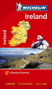 Ireland - Michelin Mini Map 8712(2014) MICHELINSmall and practical, these maps are easy to use thanks to double sided pocket format and includes multi-language key, relief shading, spot heights and other geographical features. Ferry connections are marked but railways are not included.4,62 €
 -
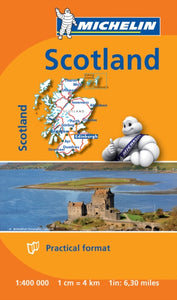 Scotland - Michelin Mini Map 8501(2014) MICHELINSmall and practical, these maps are easy to use thanks to double sided pocket format and includes multi-language key, relief shading, spot heights and other geographical features. Ferry connections are marked but railways are not included.4,62 €
 -
 Portugal Sud - Algrave - Michelin Regional Map 593(2013) MICHELINWith MICHELIN Regional Maps, find more than just your way! In addition to Michelin's clear and accurate mapping, the regional map series includes all the practical information for a trouble free journey, including major town plans as well as tourism infor9,25 €
 -
 Crossway ESV Bible Atlas(2010) CURRID, JOHN D.,BARRETT, DAVID P.This groundbreaking, full-color companion to the ESV Bible combines visual appeal with state-of-the-art historical and geographical resources in one user-friendly volume.Vezava: Trda52,92 €
 -

-
Taygetos (8.1) Map & Guides(2021) ANAVASITaygetos extends as 70km of magnificent massif anchoring the southern tip of Greece. From a dense network of challenging trails, Anavasi selected routes favoured since antiquity by devotees of sky-gods or their successor, the Prophet Elijah26,11 €
-
National Forests and Grasslands of the United States Map(2024) NATIONAL GEOGRAPHIC MAPSWaterproof Tear-Resistant Travel Map.23,09 €