1614 rezultatov
-
 Cotswolds(2016) BROOKS, JOHN,CONDUIT, BRIAN,CHANNER, NICK28 circular, graded walks all tried and tested by seasoned walkers. The routes range from extended strolls to exhilarating hikes, so there is something for everyone.Vezava: Mehka18,21 €
 -
 Surrey(2016) KING, DEBORAHA new Pathfinder(R) walking guide for Surrey, featuring 28 circular walks around the county ranging in length from 2 to 13 miles for all abilities. Areas covered include the North Downs Way and Box Hill, with all walks accompanied by GPS waypoints, OrdnanVezava: Mehka18,21 €
 -
 Loch Lomond, The Trossachs(2016) KELSALL, DENNIS,KELSALL, JAN28 fabulous country walks in the Stirling vicinity and the Loch Lomond National Park. Graded by length and ranging from 2 to 16 miles, all routes come with a clear, large-scale OS map, GPS waypoints and highlight where to park, good pubs and places of intVezava: Mehka18,21 €
 -
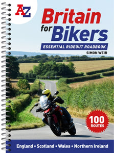 -Z Britain for Bikers(2022) WEIR, SIMON,A-Z MAPSDiscover the best biking routes around Great Britain and Northern Ireland. Your essential rideout roadbook covering the best biking routes around Great Britain and Northern Ireland, including short trips and longer tours.21,02 €
 -
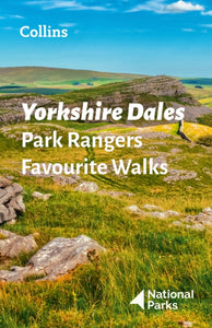 Yorkshire Dales Park Rangers Favourite Walks(2021) NATIONAL PARKS UKWalking guide to the Yorkshire Dales National Park, with 20 best routes chosen by the park rangers. Each walk varies in length from 2 to 10 km and can be completed in less than 4 hours.Vezava: Mehka11,63 €
 -
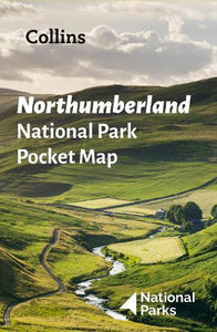 Northumberland National Park Pocket Map(2022) NATIONAL PARKS UK,COLLINS MAPSExplore the National Parks with this handy pocket map. Handy little full colour map and guide of Northumberland National Park. Detailed mapping and visitor information to the National Park along with a selection of photographs.5,60 €
 -
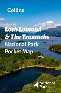 Loch Lomond and The Trossachs National Park Pocket Map(2022) NATIONAL PARKS UK,COLLINS MAPSExplore the National Parks with this handy pocket map. Handy little full colour map and guide of Loch Lomond National Park. Detailed mapping and visitor information to the National Park along with a selection of photographs.5,60 €
 -
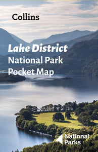 Lake District National Park Pocket Map(2022) NATIONAL PARKS UK,COLLINS MAPSExplore the National Parks with this handy pocket map. Handy little full colour map and guide of Lake District National Park. Detailed mapping and visitor information to the National Park along with a selection of photographs.5,60 €
 -
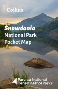 Snowdonia National Park Pocket Map(2021) NATIONAL PARKS UK,COLLINS MAPSHandy little full colour map and guide of Snowdonia National Park. Detailed mapping and visitor information to the National Park along with a selection of photographs. Map at a scale of 1:119 000 (1.2cm to 1km, 1.9 miles to 1 inch).5,60 €
 -
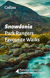 Snowdonia Park Rangers Favourite Walks(2021) NATIONAL PARKS UKWalking guide to the Snowdonia National Park, with 20 best routes chosen by the park rangers. Each walk varies in length from 2 to 10 km and can be completed in less than 4 hours.Vezava: Mehka9,80 €
 -
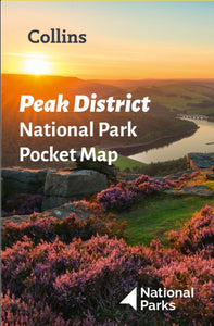 Peak District National Park Pocket Map(2021) NATIONAL PARKS UK,COLLINS MAPSHandy little full-colour map and guide of Peak District National Park. Detailed mapping and visitor information to the National Park along with a selection of photographs. Map at a scale of 1:120 000 (1cm to 1.20km, 1.9 miles to 1 inch).5,60 €
 -
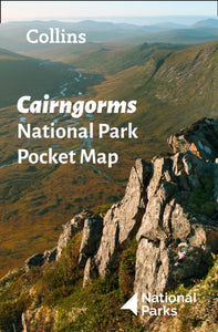 Cairngorms National Park Pocket Map(2021) NATIONAL PARKS UK,COLLINS MAPSHandy little full colour map and guide of Cairngorms National Park.5,60 €
 -
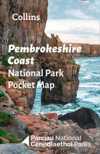 Pembrokeshire Coast National Park Pocket Map(2021) NATIONAL PARKS UK,COLLINS MAPSHandy little full-colour map and guide of Pembrokeshire Coast National Park.5,60 €
 -
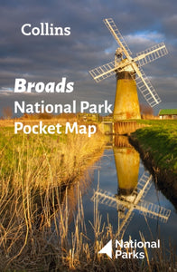 Broads National Park Pocket Map(2021) NATIONAL PARKS UK,COLLINS MAPSExplore the National Parks with this handy pocket map5,60 €
 -
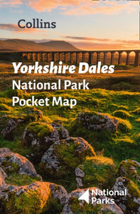 Yorkshire Dales National Park Pocket Map(2021) NATIONAL PARKS UK,COLLINS MAPSHandy little full-colour map and guide of Yorkshire Dales National Park. Detailed mapping and visitor information to the National Park along with a selection of photographs. Map at a scale of 1:140 000 (1cm to 1.40km, 2.2 miles to 1 inch).5,60 €
 -
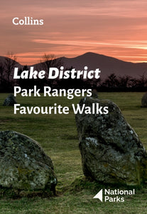 Lake District Park Rangers Favourite Walks(2022) NATIONAL PARKS UKThe perfect companions for exploring the National Parks. Walking guide to the Lake District National Park, with 20 best routes chosen by the park rangers. Each walk varies in length from 2 to 10 km and can be completed in less than 4 hours.Vezava: Mehka9,80 €
 -
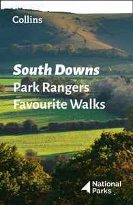 South Downs Park Rangers Favourite Walks(2021) NATIONAL PARKS UKWalking guide to the South Downs National Park, with 20 best routes chosen by the park rangers. Each walk varies in length from 2 to 10 km and can be completed in less than 4 hours.Vezava: Mehka9,80 €
 -
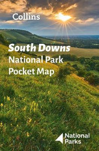 South Downs National Park Pocket Map(2021) NATIONAL PARKS UK,COLLINS MAPSHandy little full colour map and guide of South Downs National Park. Detailed mapping and visitor information to the National Park along with a selection of photographs. Map at a scale of 1:125 000 (1cm to 1.25km, 2.0 miles to 1 inch).5,60 €
 -
 Peak District Park Rangers Favourite Walks(2022) NATIONAL PARKS UKThe perfect companions for exploring the National Parks. Walking guide to the Peak District National Park, with 20 best routes chosen by the park rangers. Each walk varies in length from 2 to 10 km and can be completed in less than 4 hours.Vezava: Mehka9,80 €


