


1580 rezultatov
-
 Peak District(2016) KELSALL, DENNISA brand new title with 28 circular, graded walks selected from two new regional Peak District titles, all tried and tested by seasoned walkers. The routes range from extended strolls to exhilarating hikes, so there is something for everyone.Vezava: Mehka18,21 €
 -
 Cornwall(2016) VICCARS, SUENew edition of the best-selling walking guide to Cornwall featuring 29 classic, circular walks giving access to Britain's finest coastal scenery. Also featuring a new walk exploring the ancient landscape of Bodmin Moor. All routes are accompanied by GPS wVezava: Mehka18,21 €
 -
 Cheshire(2016) COATES, NEIL28 fabulous country walks in this fine English county from the Wirral to the fringes of the Peak District, graded by length and ranging from 3 to 11 miles. All routes come with a clear, large-scale OS map, GPS waypoints and highlight where to park, good pVezava: Mehka18,21 €
 -
 Broads Park Rangers Favourite Walks(2022) NATIONAL PARKS UKThe perfect companions for exploring the National Parks. Walking guide to the Broads National Park, with 20 best routes chosen by the park rangers. Each walk varies in length from 2 to 10 km and can be completed in less than 4 hours.Vezava: Mehka9,80 €
 -
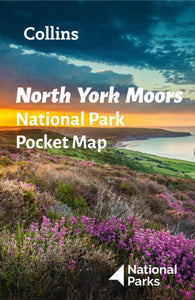 North York Moors National Park Pocket Map(2021) NATIONAL PARKS UK,COLLINS MAPSHandy little full colour map and guide of North York Moors National Park. Detailed mapping and visitor information to the National Park along with a selection of photographs. Map at a scale of 1:114 000 (1cm to 1.14km, 1.8 miles to 1 inch).5,60 €
 -
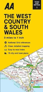 Road Map The West Country & South Wales(2022)Britain’s clearest mapping from the experts at the AA, in a handy foldable map. Fully updated, the map combines clear design and an easy-to-read scale with more road detail to ensure that you never lose your way.8,03 €
 -
 Cairn Gorm & Aviemore, Loch Morlich(2015) ORDNANCE SURVEYOS Explorer is the Ordnance Survey's most detailed map and is recommended for anyone enjoying outdoor activities such as walking, horse riding and off-road cycling. The series provides complete GB coverage and can now be used in all weathers thanks to OS23,82 €
 -
 Coast to Coast Map Booklet(2026) MARSH, TERRYMap of the 190 miles (300km) Coast to Coast Walk, between St Bees Head in Cumbria and Robin Hood's Bay in Yorkshire. This booklet is included with the Cicerone guidebook to the trail, and shows the full route on OS 1:25,000 maps. This popular long-distancVezava: Mehka18,16 €
 -
 Wilderness Trekking Oman - Map(2020) EDWARDS, JOHNThis map is a practical addition to the guide for hiking in the Western Hajar, which is the western portion of the main mountain range in the Sultanate of Oman.18,53 €
 -

-
 Fife Pilgrim Way(2019)The Fife Pilgrim Way runs between North Queensferry or Culross and St Andrews. This handy, waterproof map breaks down the Fife Pilgrim Way into seven sections and is based on OS data at a scale of 1:40,000 which gives a detailed guide with grading of the19,52 €
 -
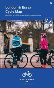 London and Essex Cycle Map 6(2022) CYCLE MAPS UKSecond in a new series of cycle maps covering the whole country. The London and Essex map covers from Uxbridge in the west to Harwich in the east. As far north as Luton and Halstead and as far south as Canterbury and Leatherhead.10,55 €
 -
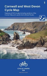 Cornwall & West Devon Cycle Map 1(2022) CYCLE MAPS UKFirst in a new series of cycle maps covering the whole country. The first map covers from Lands End in Cornwall to Plymouth.10,55 €
 -
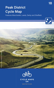 Peak District Cycle Map 18(2022) CYCLE MAPS UKThe maps are all produced at a scale of 1:100 000 showing important features including the National cycle Network. Sections on road, off road and traffic free are all shown in differing colours along with their route number.10,55 €
 -
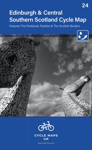 Edinburgh & Central Southern Scotland Cycle Map 24(2022) CYCLE MAPS UKThe next map in the Cycle Maps UK series covers the city of Edinburgh and the area to the south.10,55 €


