1570 rezultatov
-
 Road Map Central Southern England(2022)Britain’s clearest mapping from the experts at the AA, in a handy foldable map. Fully updated, the map combines clear design and an easy-to-read scale with more road detail to ensure that you never lose your way.8,03 €
 -
 Road Map South East England(2022)Britain’s clearest mapping from the experts at the AA, in a handy foldable map. Fully updated, the map combines clear design and an easy-to-read scale with more road detail to ensure that you never lose your way.8,03 €
 -
 Menorca Tour and Trail Map(2018) BRAWN, DAVIDFor the best adventures, use the best map. Menorca Tour & Trail Super-Durable Map covers this beautiful island at 40k scale resulting in the most detailed and toughest map of Menorca that you can buy. Digital editions of Tour & Trail Maps for phone apps16,81 €
 -
 Sierra de Aracena Tour & Trail Map(2016) BRAWN, DAVIDNew 2nd edition of Sierra de Aracena Tour & Trail Map. Digital editions of Tour & Trail Maps for phone apps and Garmin users are available on the dwgwalking website.5,60 €
 -
 Formentera Tour and Trail Super Durable Map(2016) BRAWN, DAVIDFor better adventures, use the best map. Discover Formentera with the most detailed and toughest map that you can buy. Digital editions for phone apps and Garmin users are available on the Discovery Walking Guides website.16,81 €
 -
 Coleraine(2017)The Discoverer series are designed for tourist and leisure activities. Each one covers an area of 40km x 30km at the scale 1:50,000. There are 93 sheet in the series. 75 are produced by Ordnance Survey Ireland and 18 by Ordnance Survey Northern Ireland.18,28 €
 -
 Larne(2017)The Discoverer series are designed for tourist and leisure activities. Each one covers an area of 40km x 30km at the scale 1:50,000. There are 93 sheet in the series. 75 are produced by Ordnance Survey Ireland and 18 by Ordnance Survey Northern Ireland.18,28 €
 -
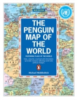 Penguin Map of the World(2002) MIDDLEDITCH, MICHAELIncludes all the flags of the world and updated political boundaries. This title contains information that reflects worldwide political changes.Vezava: Mehka12,61 €
 -
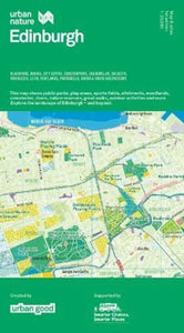 Urban Nature Edinburgh Map(2021) URBAN GOODThe Urban Nature Map series reveals cities' wilder sides. Find all the parks and green open spaces, amazing walks, and loads of fun facts and detailed information printed on the reverse. Unfolded: 950×1270mm.14,01 €
 -
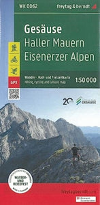 Gesause 1:50,000 Hiking, Cycling and Leisure map(2022)he hiking map Gesäuse - Haller Mauern - Eisenerz Alps 1:50,000 is revised regularly and contains updated information on hiking trails, cycling and mountain biking trails, huts, natural monuments, cultural sights and leisure facilities.21,46 €
 -
 Rail Map Europe(2024)This map seeks to show all passenger rail routes in Europe (other than those of the suburban networks of major cities) and is the ideal companion to the European Rail Timetable. Updated September 2024.21,61 €


