1580 rezultatov
-
 Trossachs North XT25(2022)More than a map - an essential piece of equipment. This new generation HARVEY Superwalker is designed to be the most practical tool for navigation outdoors.28,43 €
 -
 Two Moors Way(2021)Two Moors Way Entire route on one mapThe Two Moors Way is a long-distance walking route between Ivybridge on the southern edge of Dartmoor and Lynmouth on the north coast of Exmoor.It has a total length of 163km (102 miles), making it an ideal week's walk29,41 €
 -
 Wicklow Mountains(2018)HARVEY Superwalker Wicklow Mountains map at 1:30,000 scale. Clear, easy to use, waterproof. GPS compatible.28,43 €
 -
 Knoydart(2021)This remote and beautiful area is often known as 'Scotland's last wilderness'. Detailed map for hillwalkers of Knoydart and Glen Shiel at the popular scale of 1:25,000.28,43 €
 -
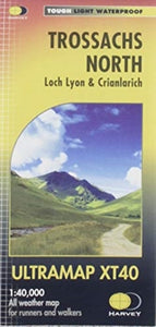 Trossachs North(2019)Covers a large area yet is handy and pocket perfect. 22 Munros, 14 Corbetts and 5 Grahams. Includes the iconic Ben Lui and the Cononish Gold Mine. All 7 Crianlarich Munros are on one side of the sheet.19,13 €
 -
Connemara(2019)HARVEY Superwalker map at 1:30,000 scale. Clear, easy to use, waterproof, GPS compatible. The most detailed map available of this area.28,43 €
-
 Pennine Way North(2019)The Pennine Way is a National Trail. It follows the backbone of England from the Peak District to the Scottish borders. It is one of the toughest UK long distance footpaths, and forms part of the European Footpath Network.31,99 €
 -
 Pennine Way South(2019)Now printed on 100% waterproof and practically indestructable polyethelene paper. Weighing half the weight of a laminated map this updated map from Edale to Middleton-in-Teesdale is the Southern part of the popular Pennine Way.31,99 €
 -
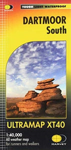 Dartmoor South(2020)The Ultramap covers a large area yet is small enough to slip in a pocket.It is a fully detailed genuine original HARVEY map. The Ultramap is tough, light and 100% waterproof.21,30 €
 -
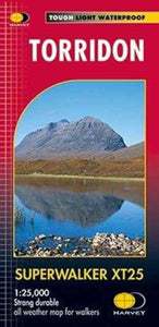 Torridon(2019)New Revised Edition and Format. More than a map, an essential piece of equipment this new generation HARVEY Superwalker is designed to be the most practical tool for navigation outdoors.28,43 €
 -
 Isle of Man(2016)Includes long distance routes, rights of way and Public Ramblage. Detailed map for hillwalkers at 1:30,000 scale covering the whole island on two sides of the sheet with a generous overlap.28,43 €
 -
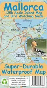 Mallorca Super Durable Map and Bird Watching Guide(2017)For better adventures, use the best map. Mallorca Super-Durable Map and Bird Watching Guide combines the latest island map with a full colour Bird Watching Guide. Navigate to your destination then turn over your map to identify the birds you see there.16,81 €
 -
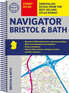 Philip's Navigator Street Atlas Bristol & Bath(2022) PHILIP'S MAPSThe only detailed colour atlas that gives comprehensive coverage of the entire region - no other atlas names every street in Bristol and Bath. The perfect back-up for emergency services, delivery drivers and locals.21,02 €
 -
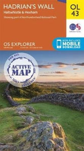 Hadrian's Wall(2019)OS Explorer is the Ordnance Survey's most detailed map and is recommended for anyone enjoying outdoor activities such as walking, horse riding and off-road cycling. The series provides complete GB coverage and can now be used in all weathers thanks to OS23,82 €
 -
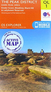 Peak District(2019)OS Explorer is the Ordnance Survey's most detailed map and is recommended for anyone enjoying outdoor activities such as walking, horse riding and off-road cycling. The series provides complete GB coverage and can now be used in all weathers thanks to OS23,82 €