77 rezultatov
-
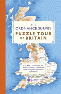 Ordnance Survey Puzzle Tour of Britain(2019) ORDNANCE SURVEY,MOORE, DR GARETHThe Ordnance Survey Puzzle Book was the biggest-selling puzzle book of 2018. And now it is back, and bigger and better than before!Vezava: Mehka26,62 €
 -
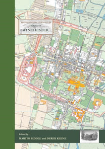 Winchester(2017)The latest in the British Historic Towns Atlas series explains the history of Winchester, a city which has played such an important part in English history from Roman times onwards. A series of large format maps show how Winchester was at key points in itVezava: Trda111,78 €
 -
 Verdun (Map)(2020) METSELAAR, BARTComprehensive mapping for the Battle of Verdun 1916 and a sizeable part of the early days of the Meuse-Argonne Offensive 1918. Clearly produced in full colour, with different types of feature in different colours, all supported by two comprehensive keys.Vezava: Mehka7,91 €
 -
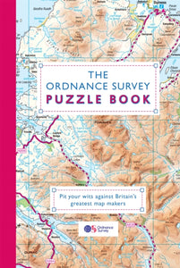 Ordnance Survey Puzzle Book(2018) ORDNANCE SURVEY,MOORE, DR GARETHOver 200 fiendish puzzles to find out who will be the ultimate map-master!Vezava: Mehka23,82 €
 -
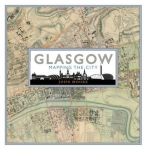 Glasgow: Mapping the City(2015) MOORE, JOHNA visually stunning collection featuring 80 maps, with accompanying text, from the National Library of Scotland and Glasgow University, many of which are reproduced in book form for the first time.Vezava: Trda42,77 €
 -
 Sky Atlas(2019) BROOKE-HITCHING, EDWARDA visual history of how mankind has studied the sky throughout history, featuring some of the most stunning images ever created.Vezava: Trda35,05 €
 -
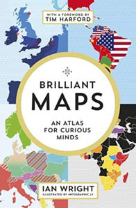 Brilliant Maps(2021) WRIGHT, IANSee the world anew with this unique and beautifully designed infographic atlas.Vezava: Mehka21,02 €
 -
 Gasholders and Lost Kings Cross(2021) BRADFIELD, NICKThese photos o Kings Cross will fascinate anyone interested in London's lost local history, or who knew this area of Victorian buildings - and particularly the gasholders - between St Pancreas Stations, before this city landscape disappeared forever.Vezava: Trda30,89 €


