Zbirka: Zgodovinski zemljevidi in atlasi

76 rezultatov
-
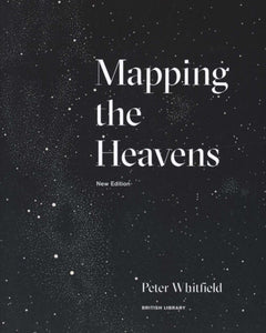 Mapping the Heavens(2018) WHITFIELD, PETERIn this beautifully illustrated book, Peter Whitfield reveals some of the ways in which the structure of the universe has been conceived, explained and depicted. This new edition is updated to include a wider range of stunning maps of the skies in full coVezava: Mehka21,02 €
 -
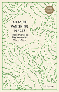 Atlas of Vanishing Places(2022) ELBOROUGH, TRAVISAtlas of Vanishing Places takes you on a voyage to all corners of the world in search of the lost, disappearing and vanished places.Vezava: Mehka15,41 €
 -
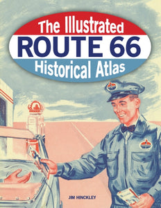 Illustrated Route 66 Historical Atlas(2020) HINCKLEY, JIMThis state-by-state atlas is fully illustrated and includes historic sites & points of interest along Route 66. Interest in it as a travel destination continues.Vezava: Mehka39,25 €
 -
 Aston Villa History of The Beautiful Name - Celebrating the 150th Anniversary of the Founding of the Football Club 1874-2024(2023)This is a captivating pictorial history map that traces the history of the famous name through rare antique maps and images back to 1820 where one such map shows the building "Aston Villa" from which the great clubs name was taken.46,32 €
 -
-
 Historical Map of Beverley: Medieval, Georgian and Victorian town(2022) EVANS, D.H.,ENGLISH, BARBARA,NEAVE, DAVID,NEAVE, SUSAN14,01 €
 -
 Murder Maps(2020) GRAY, DREWA cartographic exposition of the 19th century's most dramatic and intriguing murders from the world's most crime-ridden cities and regions.Vezava: Trda35,05 €